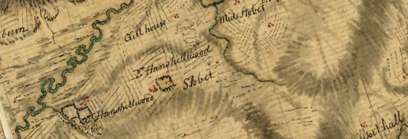
In late in 2014 we began to trial a small unmanned aerial vehicle, or UAV, for applications in archaeology and heritage fieldwork. The ‘drone’ is equipped with an 14 megapixel camera on a three axis stabilizing mount and has been providing us with very clear images and video.
Some of the UAV photos can be seen on Evan’s site: http://www.evanhinshelwood.com/photo
I feel that this technology has a broad application in archaeological assessment, especially to provide more detailed views of difficult terrain than would be possible from the ground. The camera can capture horizontal, oblique or vertical images from a moving or stationary position up to 100 metres above the ground and with a range of about 500 metres from the operator. The UAV is much more cost effective than conventional aerial photography, and quite a bit more relevant to fieldwork than a Google Earth screen grab.
